

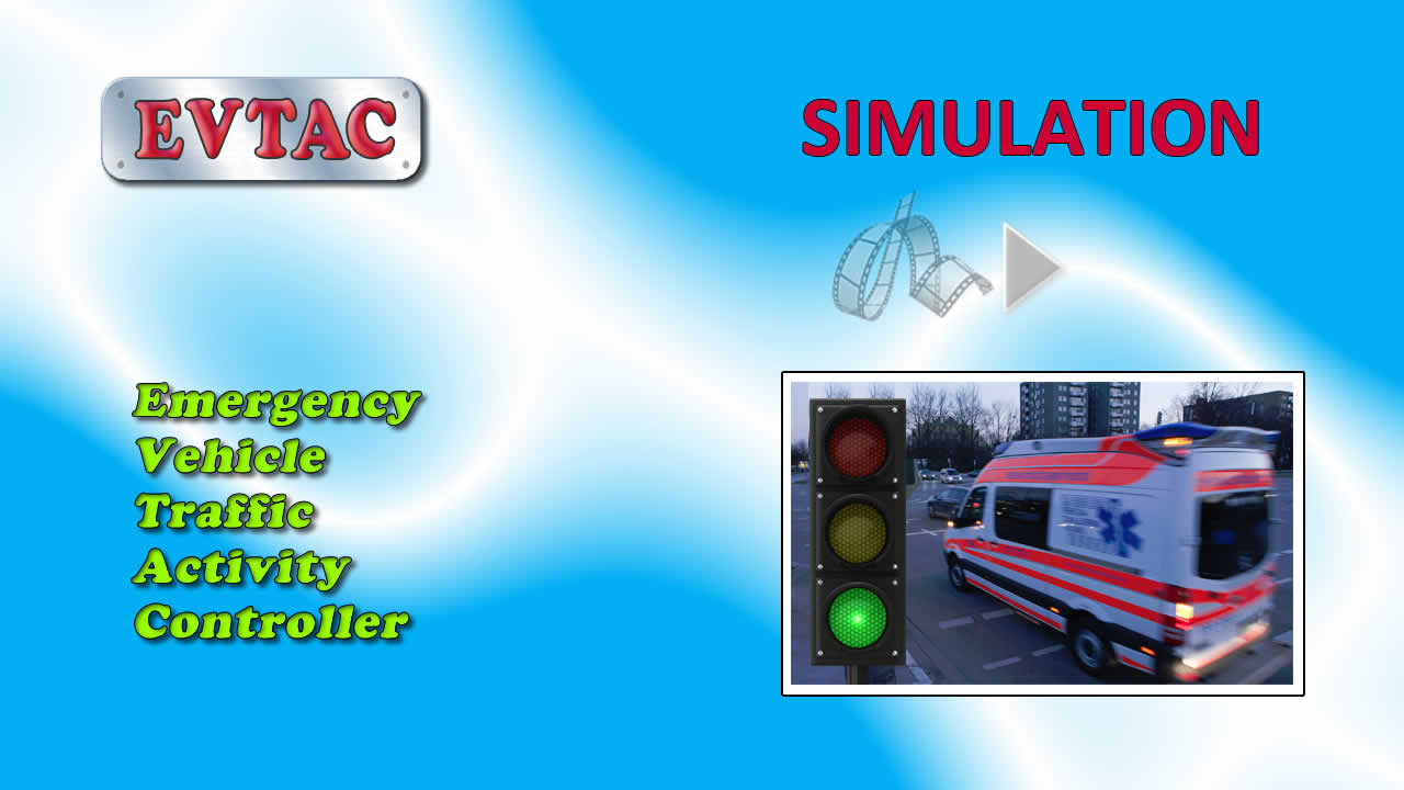
The EVTAC Simulation System
This video summarizes the main features of the EVTAC system in Simulation mode. Select the Active option in the Simulate section of the menu at right of screen, and additional options become visible. You may choose between Light, Medium and Heavy traffic, and this corresponds to an option available on the EVTAC portable transmitter for the emergency vehicle driver to select.
Before we begin, let's take a look at the zones associated with the marker that is the focus of this demonstration. Select the marker and click the Zone-Modify option in the menu. The panel at the bottom of the screen shown in the video displays three zones defined with Light, Medium and Heavy traffic, and corresponding output lines A, B and C.
To start the simulation, click anywhere on the map and the vehicle-icon should appear. The next click position will determine the direction of travel, and the vehicle will move a short distance in that direction. Rapid clicking at various points on the map can produce continuous movement in any direction, with the speed controlled by the click-rate. The vehicle can be repositioned on the map by dragging to the desired location, or by clicking on an intersection marker.
Suppose the vehicle is approaching the marker in the centre of the screen from the south-east. At some point it enters the marker's control-area, and if the “Show-Zones” option is set, the various zones associated with the marker will display. The example here is not meant to be representative of the way zones would be configured in the real world, but is designed purely to illustrate the functionality.
As the vehicle enters the green zone heading towards the marker, the output channel, or line, is displayed on the marker – in this case “A”. Any vehicle movement within the Green zone towards the marker will keep that line active. As soon as the vehicle moves away from the marker or exits the Green zone, the intersection is no longer controlled. Notice that the path in this case also traversed the Red zone, but there was no acknowledgement. If we set the traffic level to “Heavy” and follow a similar path, the Medium traffic zone has precedence over one set for the Light traffic. We can illustrate this further by placing the vehicle at a position where the three zones overlap, and switch the traffic options in the menu.
To further illustrate the capabilities of the EVTAC system, there is an area of the map we use for stress-testing scenarios that are far more complex than those likely to be encountered in practice. As the vehicle enters the control-space for each marker, data for the associated zones is obtained across the Internet from a database at a central server. There are no practical limitations on the number of markers and zones, or how complex the shape of the zones might be.
We hope that this helped in understanding the EVTAC system, and we invite you to experiment with the online interface.