

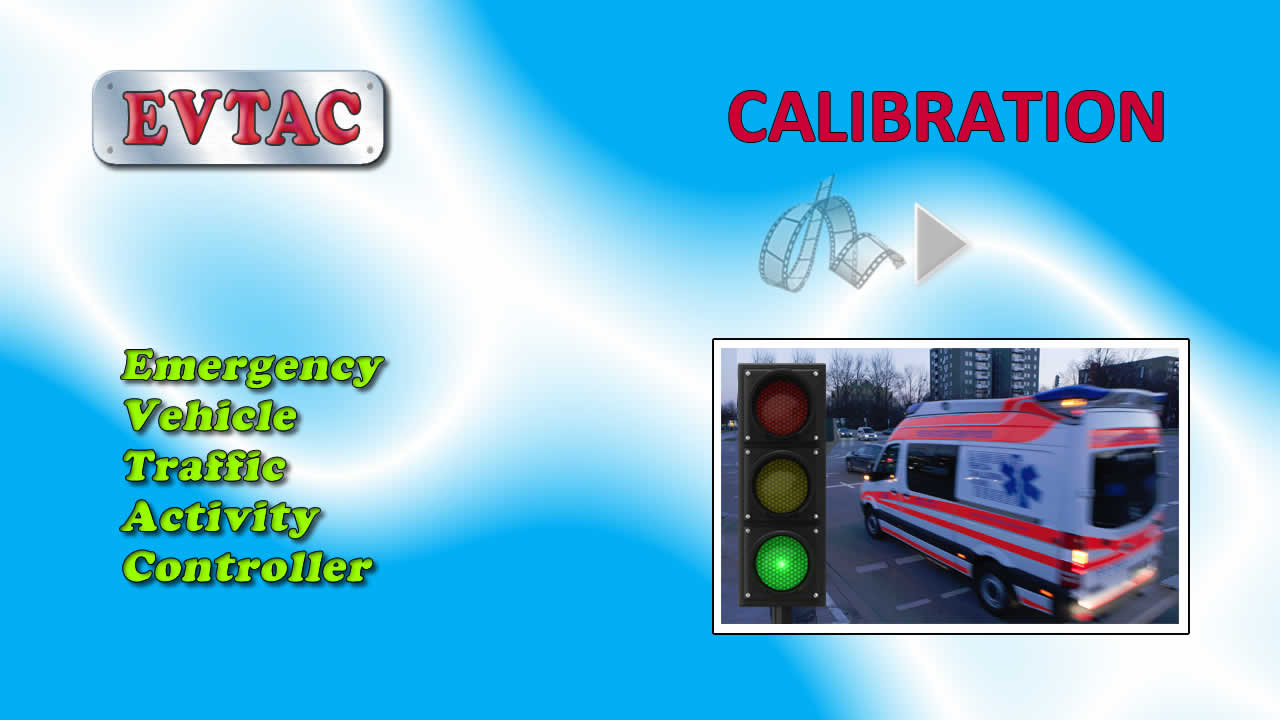
The EVTAC Calibration Process
The purpose of this video is to introduce the calibration component of the EVTAC system. Each controlled intersection is defined by an octagonal marker that is assigned a unique intersection code, known as an icode, when first created. Hover over any marker to display the icode and a description. Associated with each marker are zones that can be whatever shape and size the design requires. Double-click on any yellow marker and the zones will display.
By way of example, let's create a marker at a busy five-way intersection. Use the standard Google Maps procedures to relocate the map so the intersection of interest is visible. For more accurate positioning, zoom in. Click the 'Create' option in the menu-bar, and then click on the map to bring up the dialogue box attached to the marker. As well as a description, options are available in the drop-down panel to broadly categorize the intersection.
If you wish to adjust the position of the marker, either drag the icon, or click on the map at the desired location. Pressing the 'Save' button will permanently store this information on the server. Hover over the marker and the newly assigned icode, should display. The icode comes in handy if you would like to bookmark this location. As shown in the video, adding a parameter to the URL when linking to EVTAC will initialize the map centred on that intersection.
When a marker is selected as indicated by the red outline, a context-sensitive menu provides the option to Modify or Delete the marker. The Modify option displays the same dialogue box as when the marker was created, allowing changes to the description or category, but retaining the original intersection code. If the position is changed and the Cancel button pressed, the marker returns to its original position.
The Delete option functions as expected, but includes a confirmation dialogue to prevent accidental deletion.
Notice that the marker just created is blue, and that signifies that there are no associated zones. For such a marker, the only option on the menu related to zones, is “Create”. Pressing the Create button causes a line to be drawn between the marker and the position of the mouse. Click the mouse on one of the roads that extend from the intersection, and an initial zone is drawn. Using the standard Google-Maps technique for manipulating polygons, we can draw a zone of any shape. Each vertex can be dragged to a new location as appropriate, and moving the little circle at the midway point between vertices will create a new vertex. Click on any vertex with the secondary mouse-button and that vertex will disappear.
In the example shown, we extend the zone through the intersection and thus cover traffic approaching the intersection from either direction. Once the shape of the zone has been defined, the panel at the right, bottom of screen allows for a few descriptive notes, plus choices for traffic-density and output-line. The relevance of traffic-density and output-line will become apparent when we demonstrate EVTAC in Simulation mode. Hitting the Save button will store details on the remote server. As the marker now has a zone associated with it, its colour has changed from yellow to blue.
We can add any number of zones around the same intersection using the technique just described. With the same intersection marker still selected, press “Zone Modify” in the menu and a panel opens at the bottom of the screen listing each of the zones. To modify a particular zone, press the associated edit button and a panel appears that is similar to the one used to initially create a zone. In addition to the Save and Cancel options as before, there is a Delete button. While this panel is visible, the geometry of a zone can also be modified. Any of the actions on the “Update Zones” panel will return to the parent panel that listed the zones.
That covers the basics of the Calibration component for EVTAC. Please feel free to experiment with the on-line system and let us know of your experience.